
|
Getting your Trinity Audio player ready...
|
Counting birds to understand the health of the bay
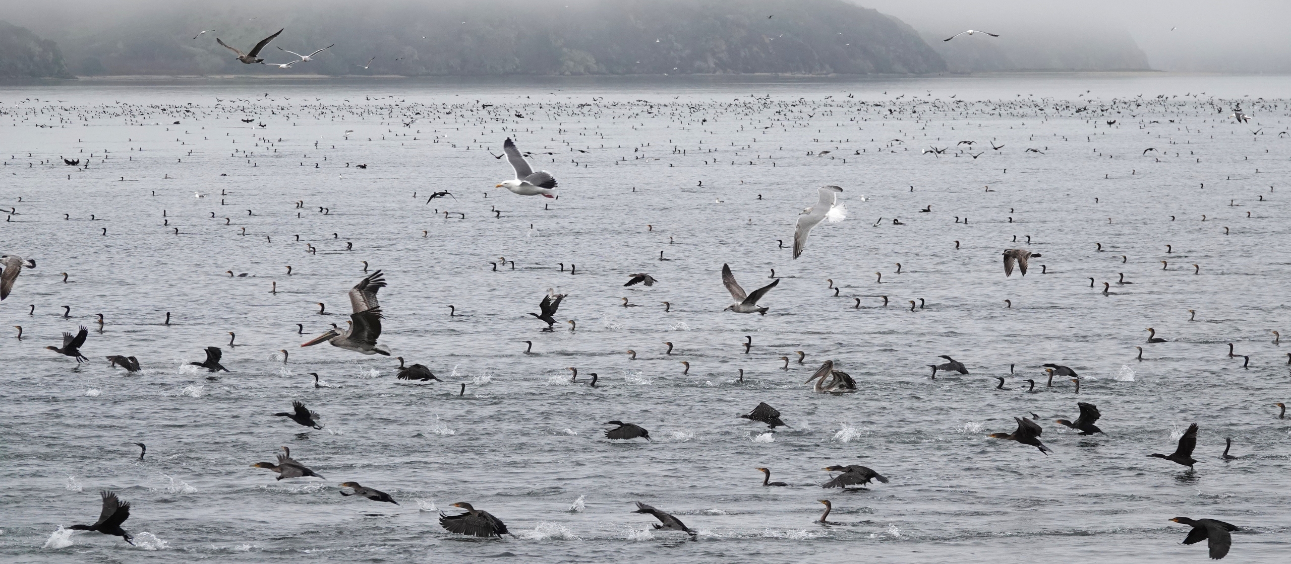
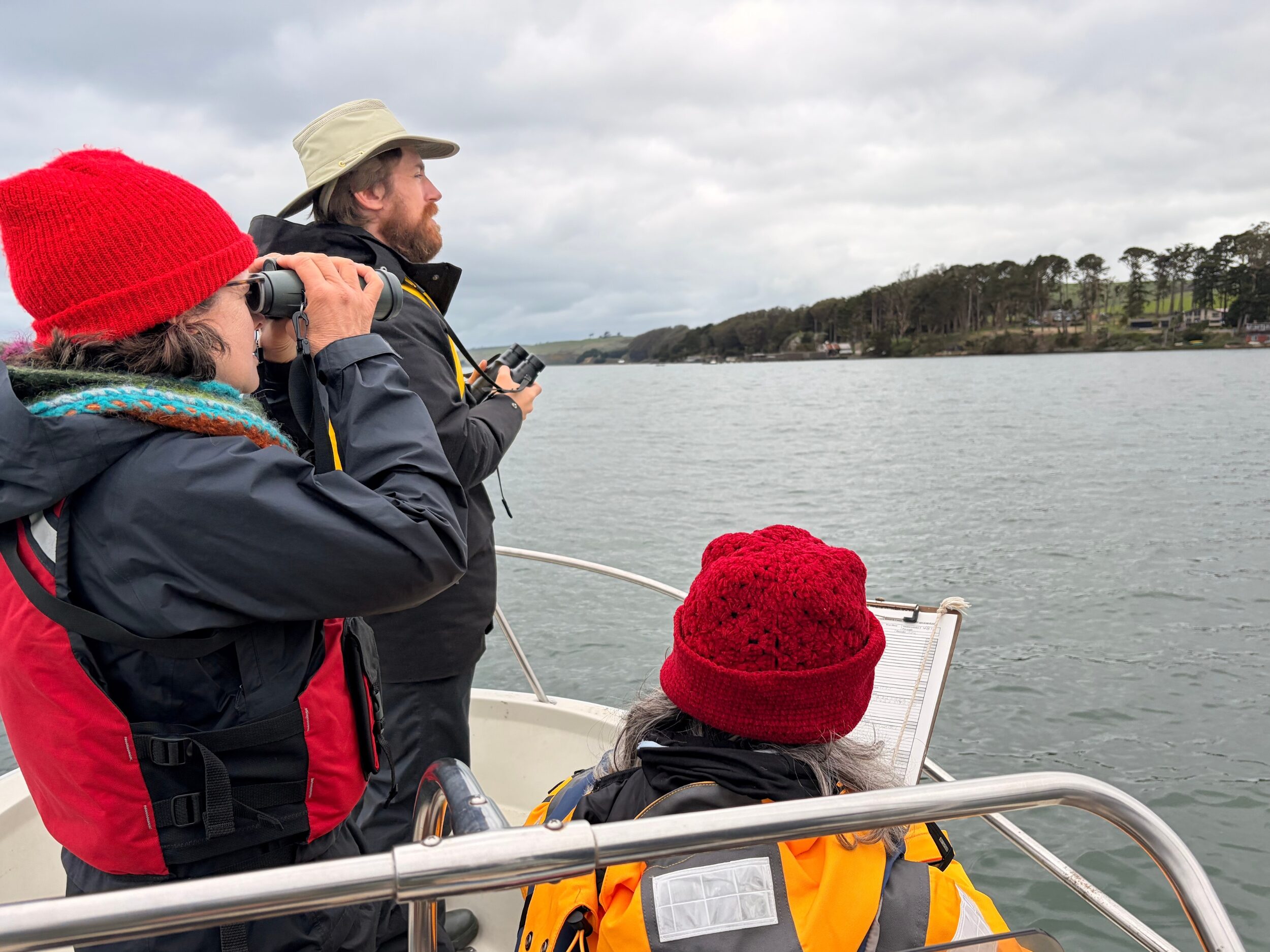
All Hands Ecology stewards 16 preserves along the shores of Tomales Bay. Twice every day, the bay’s waters flood the intertidal areas of these preserves, creating nutrient-rich wetlands that support unique biodiversity. Migratory shorebirds and waterbirds that fly south from their Arctic and boreal breeding grounds to winter depend on both the wetlands and the deep waters of the bay for food and shelter. By counting the abundance of these birds, we can gauge the health of this rich and diverse coastal habitat. We’ve been monitoring shorebirds and waterbirds since 1989 with the assistance of knowledgeable volunteers.
Our previous findings
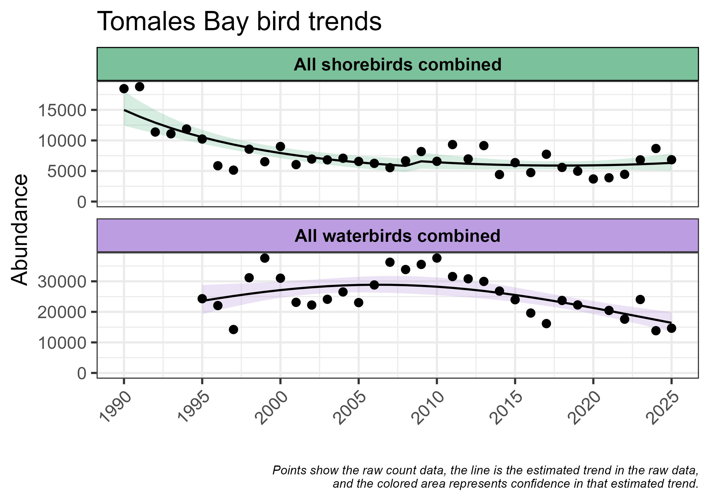
We published papers in 2021 and 2024, detailing striking declines in shorebirds and mixed trends — increases and decreases — in waterbirds. In shorebirds, across all species combined, we noted losses of around 66% and declines of over 90% for some individual species. Only a couple of shorebird species didn’t decline. In waterbirds, we found mixed trends, with roughly equal numbers of species increasing and declining. Overall, we found about the same number of waterbirds across all species as compared with data when we started the counts more than 30 years ago. But this analysis suggested a negative trend in the most recent eight to ten years of counting.
Shifting trends
In the past few months, we updated our trend estimates with new data. As we did for these previous papers, we used statistical models to account for local weather variables like rain and ocean conditions, enabling us to smooth out short-term fluctuations in bird numbers to get a more accurate estimate of the long-term trends.
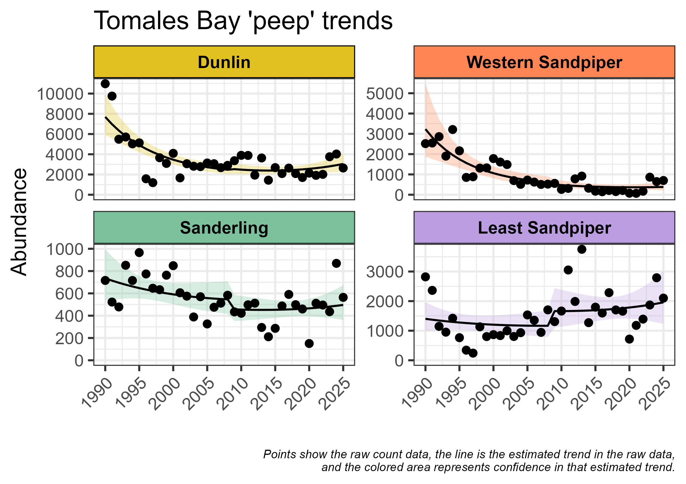
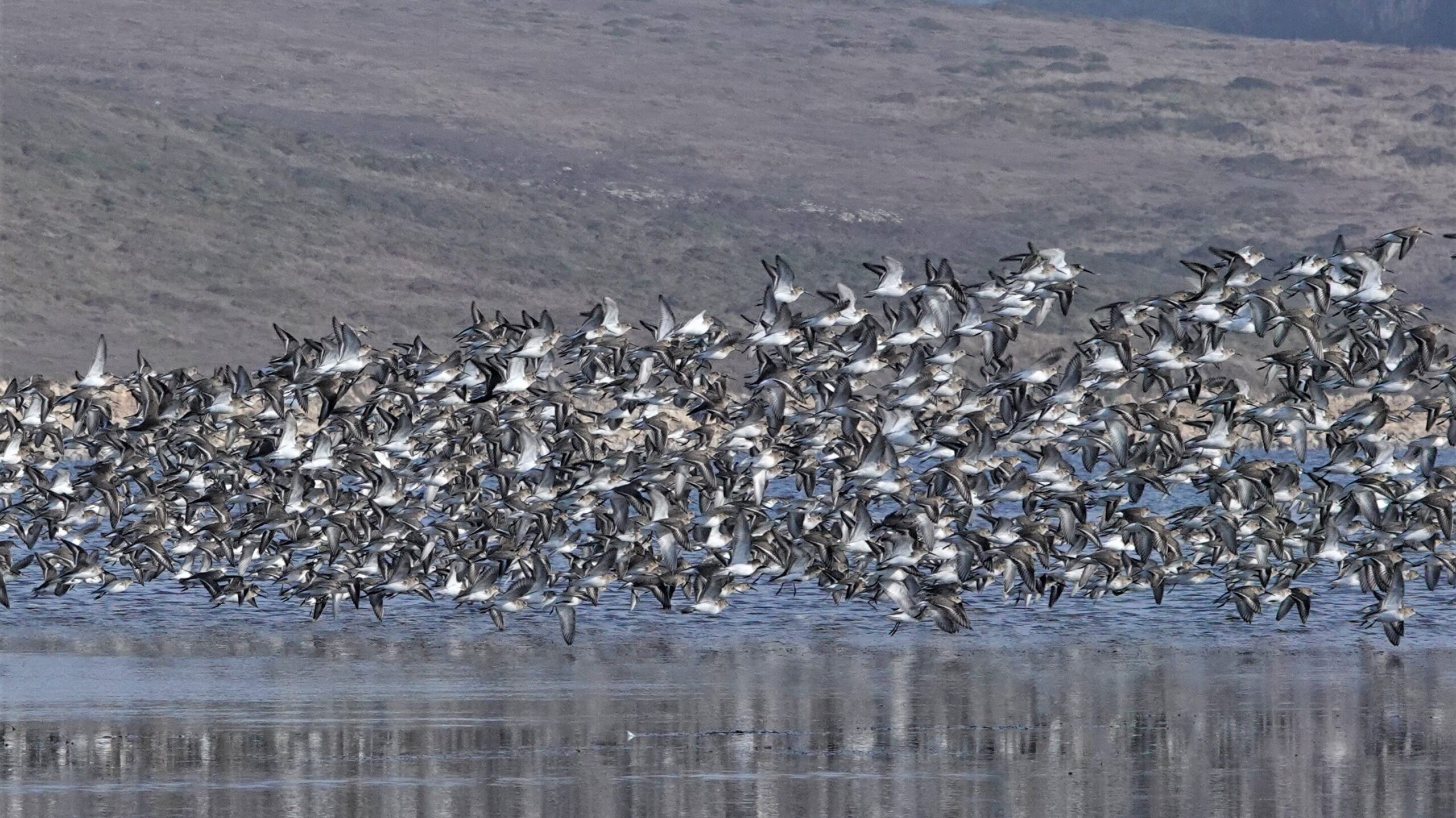
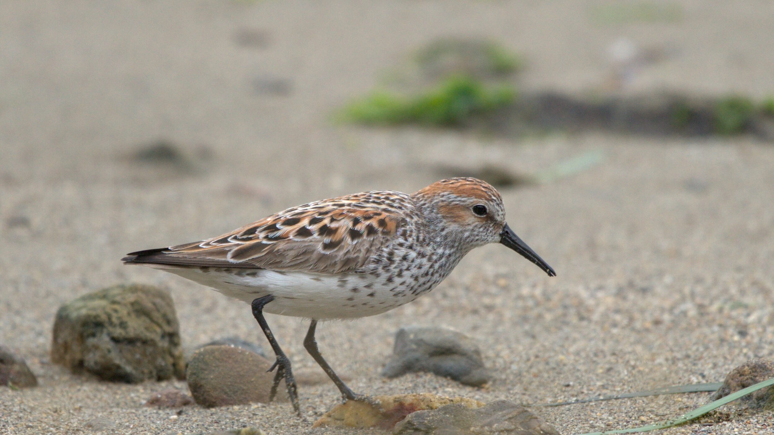
Our updated results show new trends emerging. Shorebird numbers, previously in steepest decline, have increased since 2021, but they still aren’t as high as 30 years ago. Four of the most numerous shorebird species we count — Dunlin, Western and Least Sandpiper, and Sanderling — are part of the group of small shorebirds affectionately called “peeps.” Over the last five years, their numbers have either increased or their negative trends have leveled off.
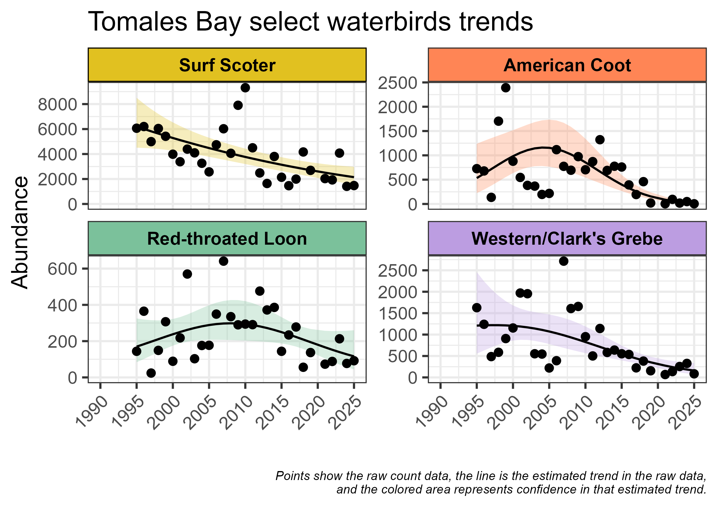
Unfortunately, waterbirds have continued the decline that was beginning to appear in our previous analysis. Several of the waterbird species that were stable or increasing until 2005–2010 have been declining steadily since then and are now at the lowest numbers we’ve counted. Surf Scoters, once one of the most numerous waterbirds we saw, have declined steadily, down 65% from when we began the counts. Double-crested and Brandt’s Cormorants had been increasing through the 1990s and 2000s, but their numbers have leveled off in the last 10 years.
Searching for reasons
The bird declines we’re seeing are likely due to habitat loss and degradation all along the migratory pathways. The surest way to link environmental characteristics to population changes is to collect data on reproduction and survival along these routes, which is difficult to do. But local factors do matter, and we’ve seen on Tomales Bay that restoring habitat and supporting important food sources can help migratory birds. Shorebird numbers responded positively following environmental restoration work on the Giacomini Wetlands, and waterbird numbers rose in association with a healthy abundance of herring.
Human use of the bay can counteract these positive impacts. The Great Egrets we studied with GPS tags selected natural wetlands over shellfish aquaculture areas during most tides. Recreational boating on Tomales Bay has also increased in recent years. A growing body of scientific literature shows that more recreation often means less chance for wildlife to use the same areas, disrupting important resting periods for these long-distance travelers.
Conservation is a collaboration between people and place. We believe it is important to research these impacts so that we can guide policies to establish the right balance of human use and habitat protection to sustain local food producing economies, the cultural values of outdoor recreation, and wildlife populations.
The scientific process is rarely linear
One of our organizational values is boldness, and this guides us to take the right risks to work for change. Searching for clues behind the dramatic Dunlin declines, we’ve taken a closer look at the movements of this small shorebird. With radio tags and automated receiving stations that are part of the Motus network, we have been following the journeys of Dunlin around California during winter and up and down the Pacific Flyway during their migrations. Though the tracking was not detailed enough to support our research objectives on Tomales Bay, the Motus data we collected has proven to be extremely valuable for showing Dunlin movement over larger areas. We are partnering with Point Blue Conservation Science and The Nature Conservancy, who are tagging Dunlin in the Central Valley. Together, we are learning more about when and why Dunlin move between the coast and the Central Valley. We’re currently working on a paper describing these movements.
Following the curve
We’ll continue counting waterbirds and shorebirds on Tomales Bay, bearing witness to the changes to this unique ecosystem and collecting data to guide its protection.
Help the counts continue
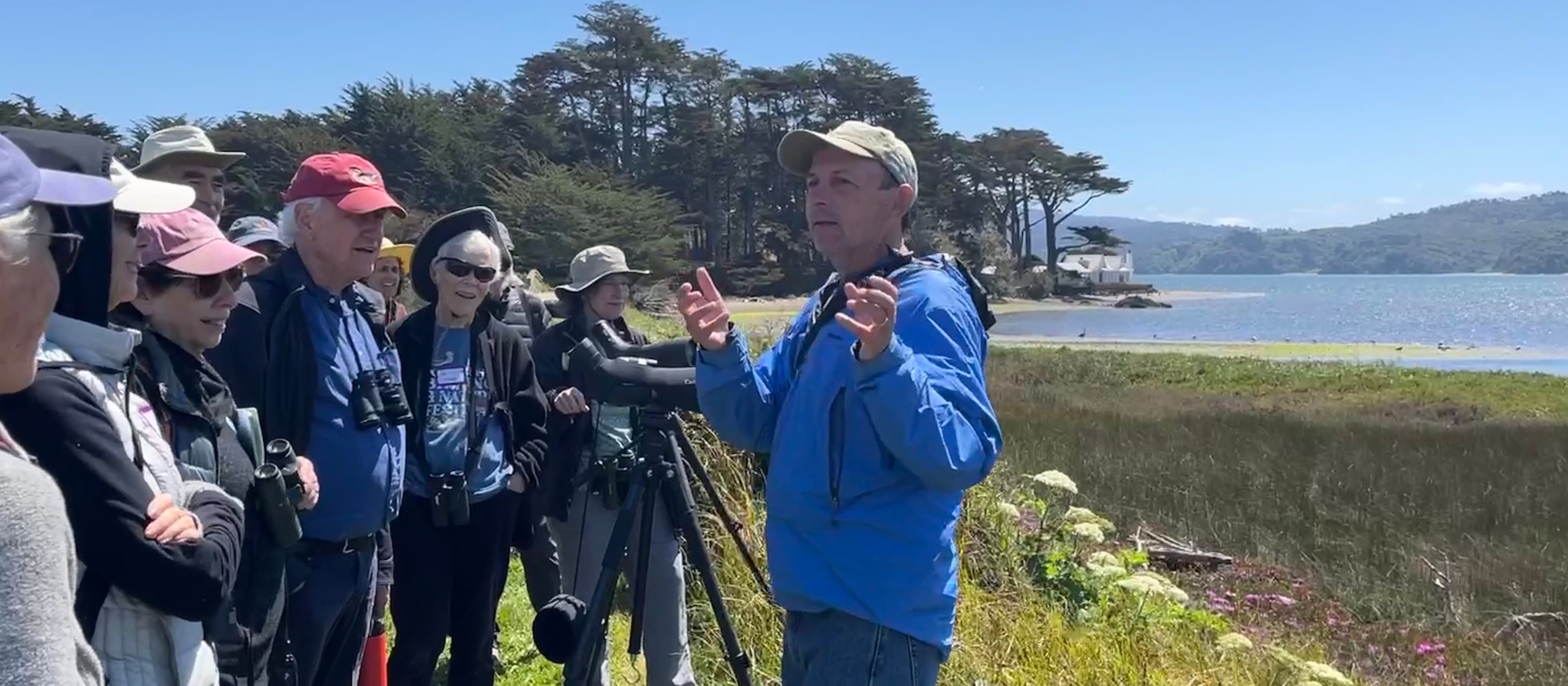
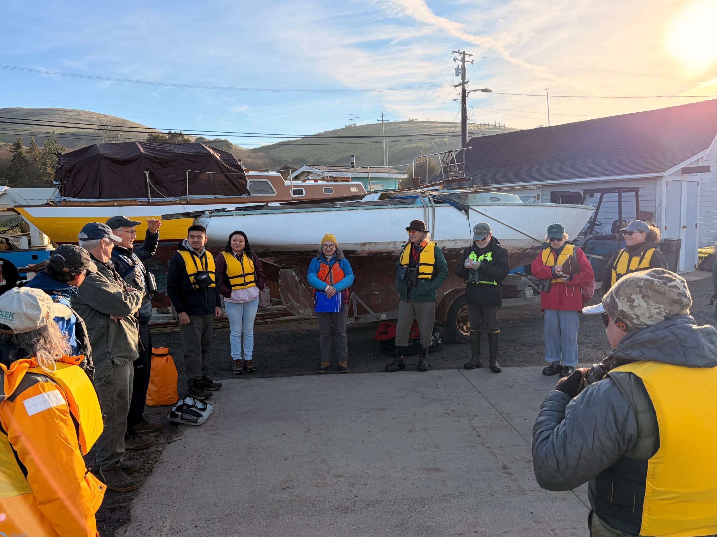
Get involved. Every year, we monitor seasonal populations of both shorebirds and waterbirds on Tomales Bay with the help of dedicated and skilled volunteers. If you have excellent waterbird and shorebird identification skills, apply to be a survey volunteer.
Support waterbird and shorebird conservation. Conservation science at All Hands Ecology depends on donations and grants from generous individuals, foundations, public agencies, and local community groups. Become a member or donate today.
Explore the research. For scientific papers on shorebird and waterbird conservation, visit our publications page.