|
Getting your Trinity Audio player ready...
|
Marin from above
From above, Marin County looks like a mosaic — open spaces adjacent to pockets of human development with the rocky coast and deep bays forming edges and inlets. To make informed decisions about the lands, planners and land managers rely on a valuable tool: the Marin Fine Scale Vegetation Web Map. This interactive map shows an aerial view of more than 80 distinct plant communities across Marin County. Though spectacularly specific, there are glaring data gaps in one of the state’s most endangered ecosystems: grasslands. We are working with regional partners on a pilot project to fill in these gaps. This collaborative effort will lay the groundwork for grassland stewardship in Marin for years to come, as well as enhance knowledge of threatened grasslands throughout the state.
Ground-truthing aerial surveys
“There’s so much richness in grassland communities,” said Emiko Condeso, All Hands Ecology GIS specialist. “You just completely miss that in remote sensing.”
The current vegetation map was developed in 2018 using LiDAR (Light Detection and Ranging) — a technology that fires laser pulses from an airplane to map vegetation. Although excellent at ascertaining many vegetation types from above, it’s tricky for LiDAR’s laser eye to map grasslands plants, since the vegetation is similar in shape and height.
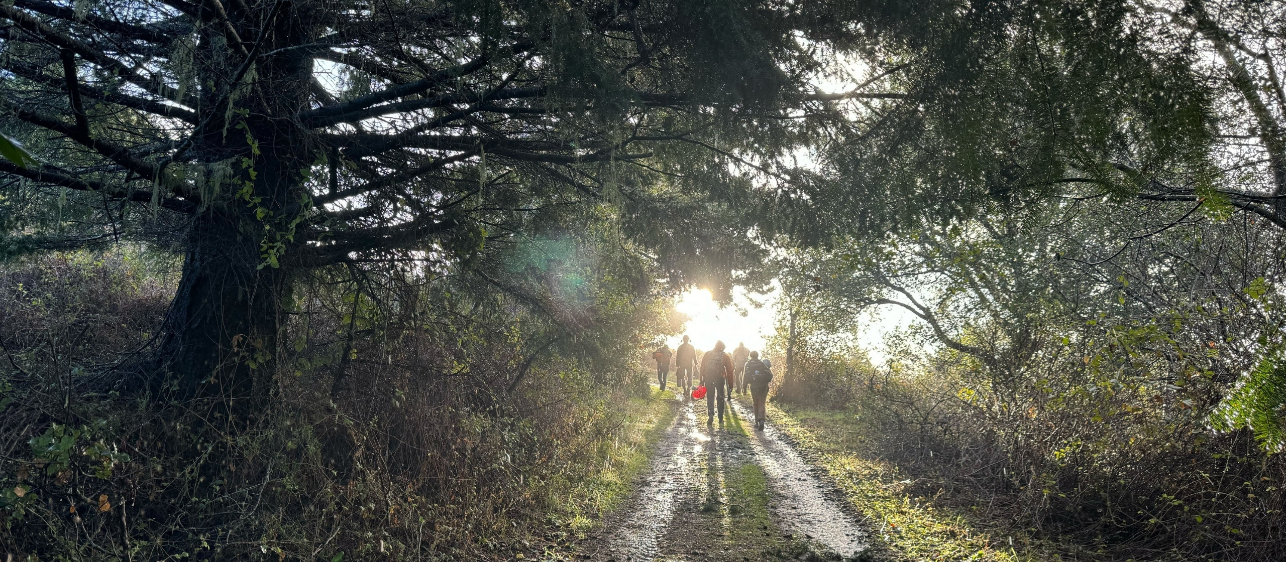
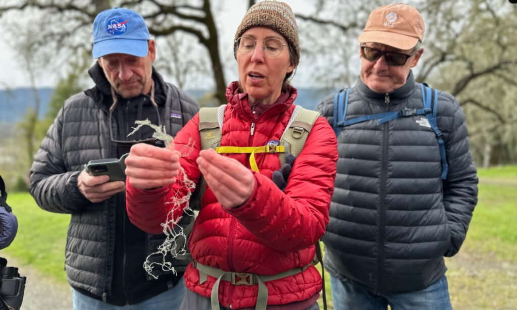
The only way to know what’s really growing in Marin’s grasslands is to be on the ground. That’s where Shelly Benson comes in. She is a plant ecologist and the project lead on the grassland mapping project. This spring, she will be walking the landscape in Marin where grasslands have been labeled broadly on the current vegetation map — identifying and mapping native patches to reveal patterns, plant communities, and ecological relationships.
A collaborative effort to know what’s growing in grasslands
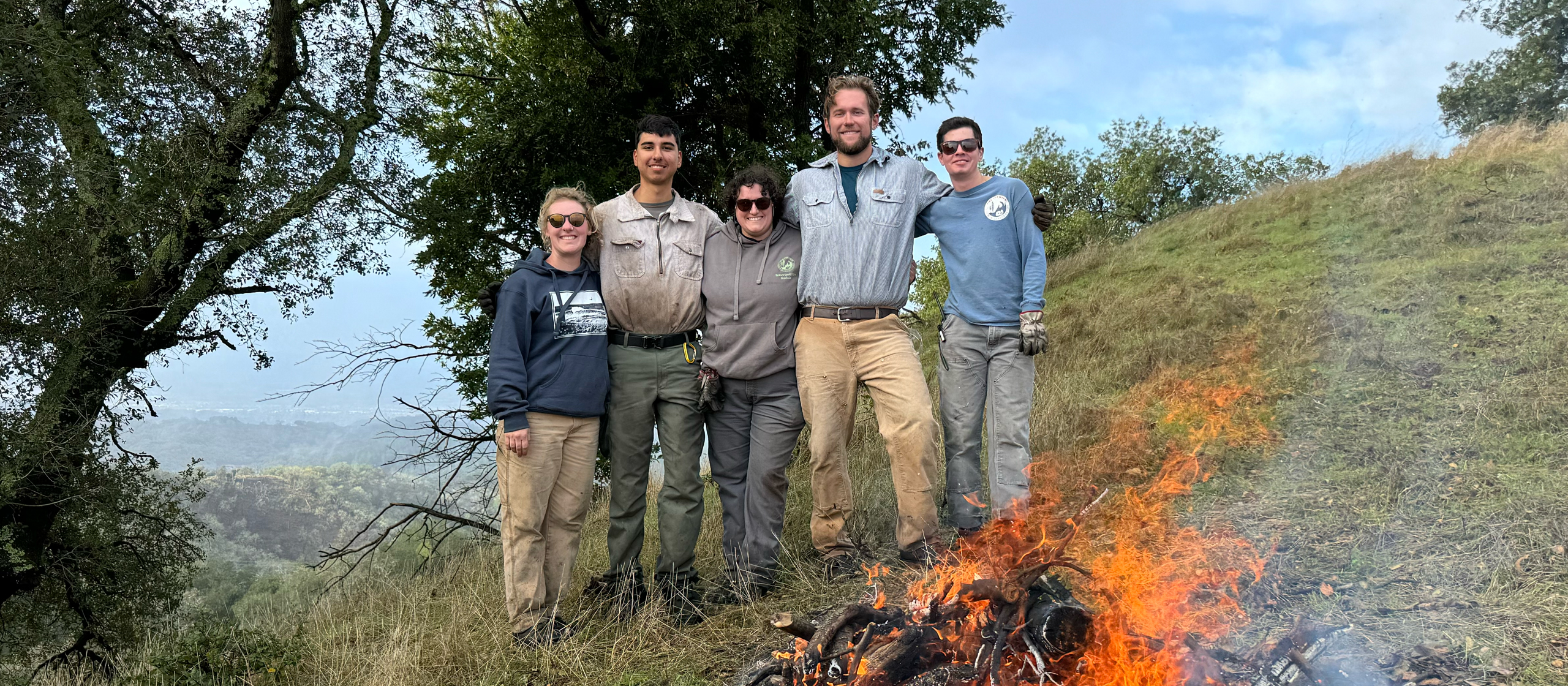
The project is a new programmatic focus of the All Hands Ecology science team, with Condeso providing GIS mapping expertise. The project brings together partners from the region and across the state and is generously supported by Mother Madrone Fund.
The California Native Plant Society (CNPS) is doing a sister study at the Golden Gate National Recreation Area and maintains a statewide vegetation classification system. Partnership with CNPS will ensure that both Marin mapping projects align into a single, standardized dataset that can ultimately span all of Marin County.
The study will take place on approximately 1,000 acres across several sites managed by Point Reyes National Seashore, Marin Municipal Water District, Mount Tamalpais State Park, and All Hands Ecology.
More than grass
According to Benson the time-intensive field work of walking the landscape will be well worth the effort, and she’s excited about what she’ll find.
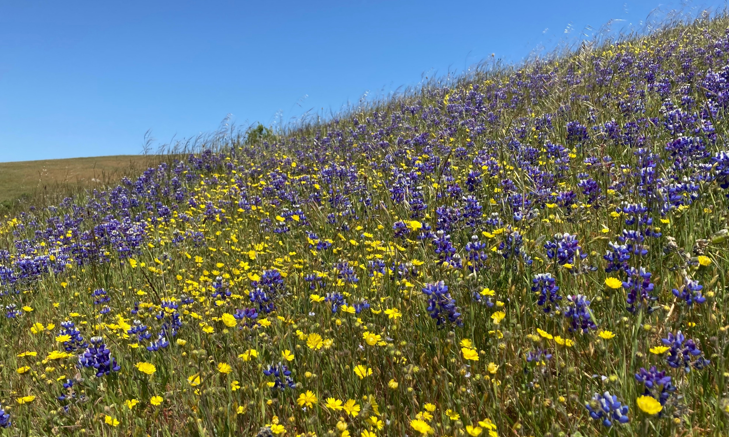
“Grasslands aren’t just grasslands — they’re also what makes these flower fields that we see,” said Benson.
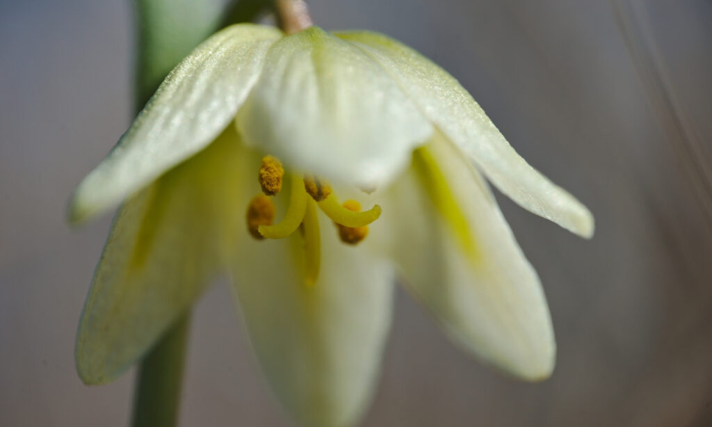
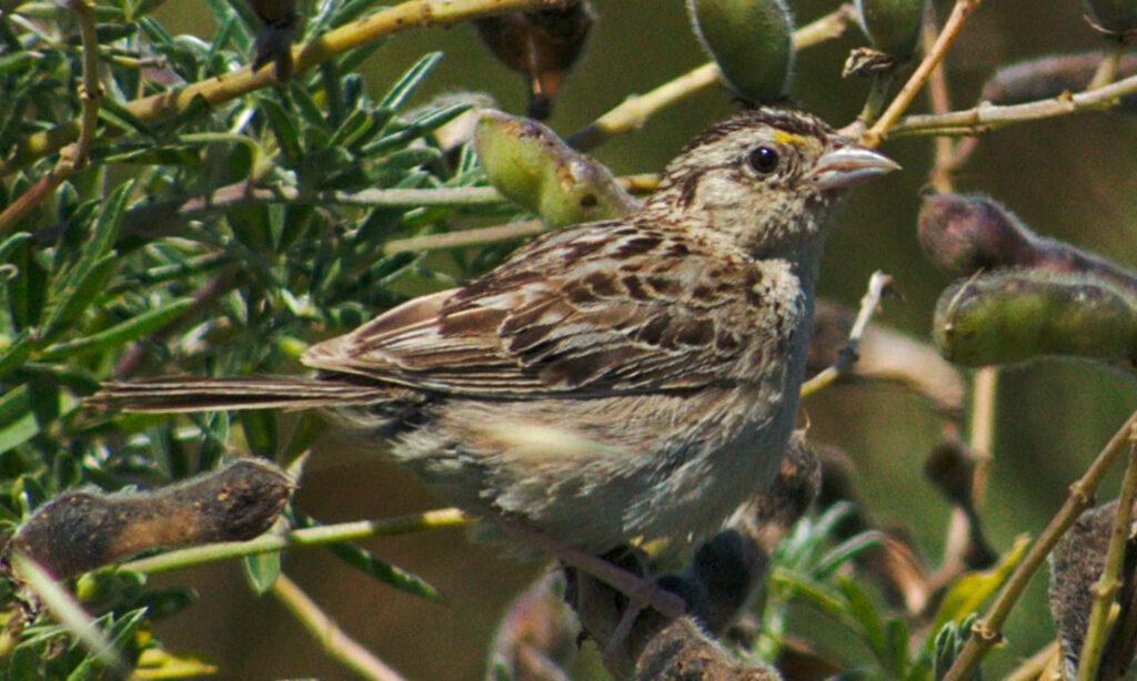
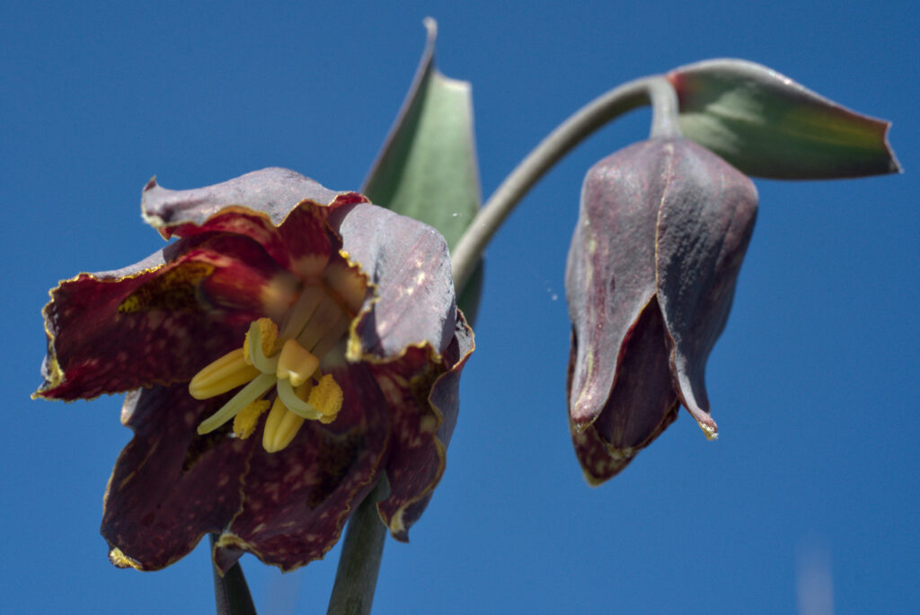
As one of the state’s most endangered ecosystems, with estimates stating that over 90% have been lost to development, agriculture, or invasive species, grasslands are refuges for biodiversity — stunning fields of wildflowers, rare plant communities, and fragile wet meadows. Grasslands are critical for conservation, providing habitat and resources for numerous threatened species.”
For Benson, grasslands are also a place for scientific breakthroughs, adding to the broader knowledge of these vulnerable, vital landscapes.
“We’re not necessarily finding new species in grasslands,” shared Benson. “We’re finding new community types — assemblages of species that live together and indicate their environmental conditions.”
Learning from the land
Knowing what’s growing in Marin’s grasslands will be foundational for knowing how best to care for them.
For All Hands Ecology, the mapping will improve our understanding of grasslands at Cypress Grove Preserve and Toms Point on Tomales Bay.
“We have beautiful grasslands,” said Condeso. “They are not mapped to the fine scale that we would really like to have them mapped in order to best manage them.”
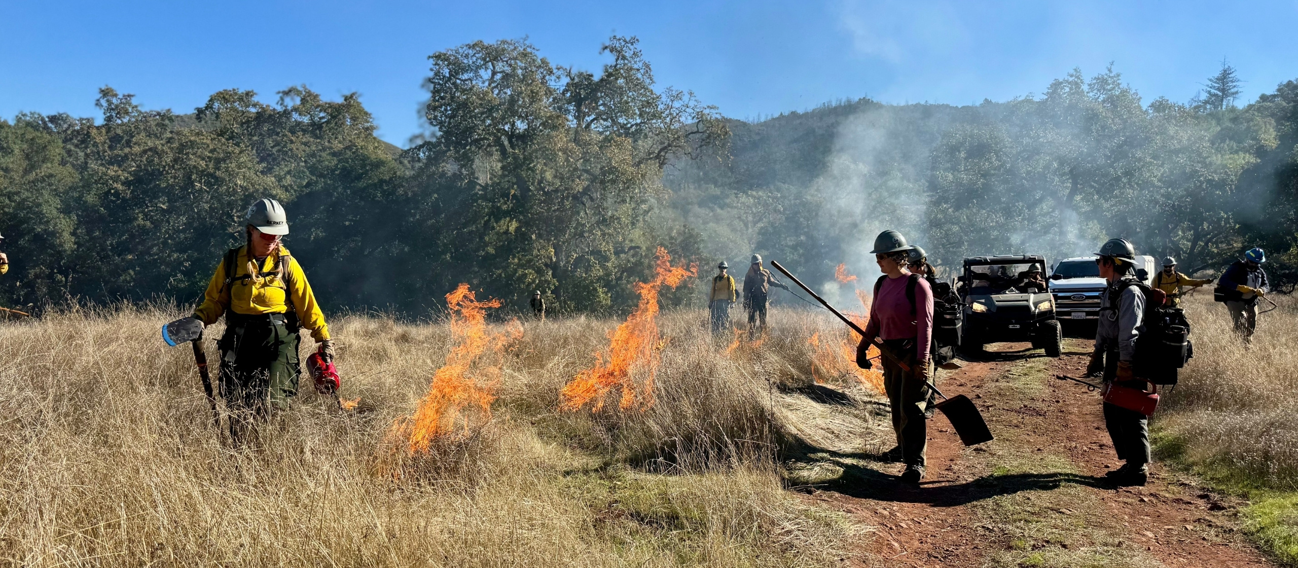
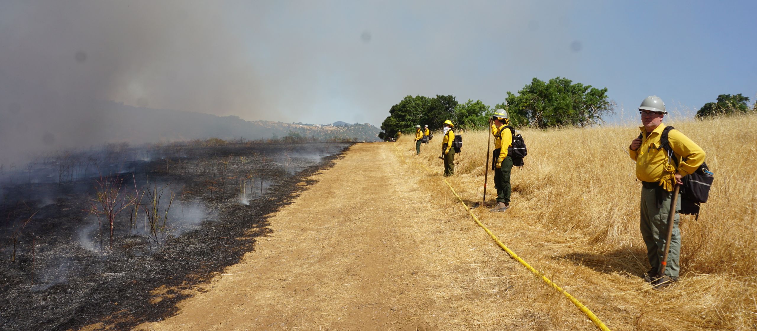
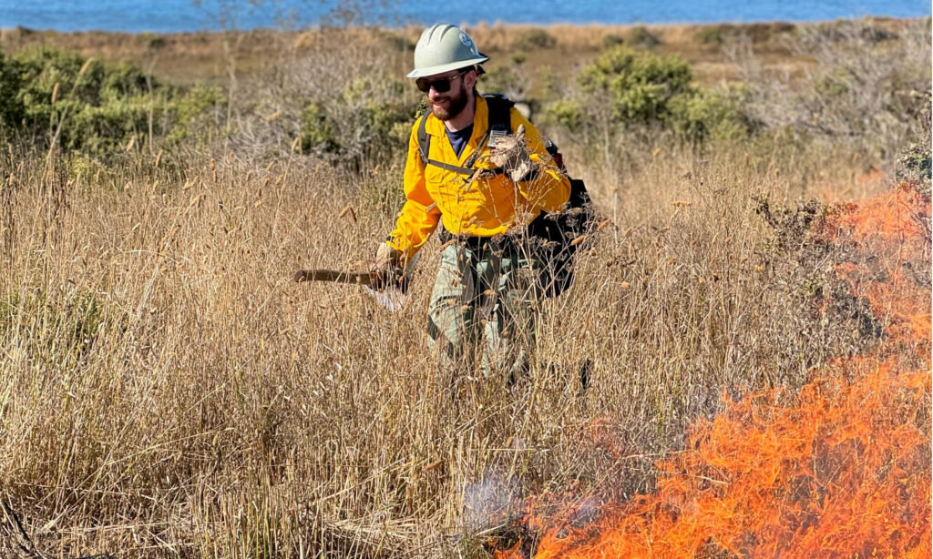
According to Condeso, improved plant classifications can help us and our partners zero in on which stewardship tools, such as grazing or fire, will be of greatest benefit, where invasive plant threats are concentrated, and which rare or sensitive species might warrant special protection.
Next steps
The year-long project is a bold, first step among regional partners aimed at a long-term vision. The study is intentionally designed to be scalable with future expansion to map much more of Marin’s grasslands — estimated to be around 111,000 acres.
Benson is planning to hold a public talk to share her findings later this year or early next year.
Be part of laying the foundation
Conservation depends on groundbreaking research, and support from our donors and funders propel this work. Support grasslands stewardship by becoming a member or renewing your support today.